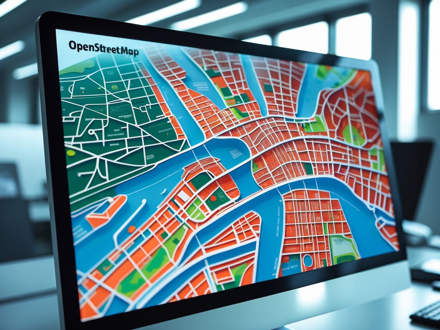
OpenStreetMap is a free, open map database maintained by volunteers worldwide. Known for its accuracy and versatility, it serves various applications such as navigation and humanitarian aid. By leveraging data contributed by a global community, it offers unparalleled geographical insights. With OpenStreetMap, users gain access to robust mapping tools that enhance decision-making and project management. Throughout this article, we’ll explore its features, benefits, and applications that make it an indispensable tool.
Understanding OpenStreetMap
OpenStreetMap is a powerful open-source initiative that has revolutionized the way mapping data is collected and shared. Established as a collaborative project, it is maintained by a dedicated network of volunteers who continuously work to provide up-to-date geographical information. The origins of OpenStreetMap can be traced back to 2004 when it was created to offer an alternative to proprietary mapping services restricted by licensing and usage limitations. Unlike these services, OpenStreetMap is favored for its flexibility and transparency, which allows anyone to contribute to and utilize the data freely.
The community-driven aspect of OpenStreetMap encourages users from all over the world to gather data, making it one of the most comprehensive geographical repositories available. This collaborative effort enables the creation of detailed and precise maps that serve a wide range of applications, from urban planning to navigation systems. OpenStreetMap data is stored in a specific format that supports various applications, and its open-license benefits allow users to access, modify, and distribute the data without restrictions, making it an invaluable resource for developers and businesses alike.
With a global reach, OpenStreetMap supports numerous industries by providing precise map applications tailored to specific needs. As you explore how OpenStreetMap data is utilized, you’ll gain insights into mapping features and data handling techniques, leading you to understand the potential it holds for your own projects.
Mapping Features and Data Handling
OpenStreetMap (OSM) earns its reputation for navigational precision by meticulously mapping features that range from arterial roadways to the most intricate of landmarks. Through a robust, community-driven approach, OpenStreetMap collects, stores, and perpetually updates geographical data to maintain this high level of detail. This begins with the contributions from volunteers across the globe, who upload GPS data, track changes, and enrich the map with local knowledge that might otherwise be overlooked. The importance of data imports in this ecosystem cannot be overstated. By integrating official data sets from governmental and non-governmental organizations, OpenStreetMap enhances its accuracy and depth, ensuring more precise navigation and location-based insights.
Community contributions are indispensable, as they ensure that scant details are filled in where official sources may lag, capturing the dynamic nature of urban and rural landscapes alike. In terms of managing this wealth of information, OpenStreetMap uses diverse tools and formats for data export, like XML-based OSM files and API access points, to ensure the data’s accessibility and usability across different platforms and applications. These data transformations are critical, enabling users and developers to deploy the information in varied contexts, from navigation applications to environmental studies, thereby broadening the map’s potential uses.
With its open-data approach, OSM not only invites widespread participation but also fosters an environment ripe for innovation. Varied mapping solutions emerge, empowering both tech enthusiasts and developers to leverage the data in inventive ways. This seamless sharing and updating process leads naturally to the myriad applications and use cases that OSM supports, an exploration of which forms the basis for the next chapter.
Applications and Use Cases
OpenStreetMap is a revolutionary platform that empowers a multitude of projects across various domains with its versatile data applications. Seamlessly building on the foundation of mapping features and data handling, OpenStreetMap serves as an essential resource from urban planning to disaster relief operations. By providing intricate mapping details, urban planners can optimize city layouts, enhancing both infrastructure and accessibility. In times of crisis, humanitarian groups rely on OpenStreetMap for up-to-the-minute data that guides swift and efficient disaster response efforts.
With its integration into navigation apps, OpenStreetMap has become an integral part of improving logistical networks. Businesses utilize its open data to refine delivery routes, reduce travel times, and manage costs effectively. In educational settings, geography classes are enriched by using OpenStreetMap to illustrate map-reading skills and spatial awareness, providing students with a practical, hands-on understanding of geographic concepts.
Moreover, research projects and data analytics benefit significantly from OpenStreetMap’s comprehensive dataset, allowing researchers to conduct complex spatial analyses and derive meaningful insights. Organizations creatively harness this open data, tailoring it to innovate and adapt within their specific sectors.
As OpenStreetMap continues to evolve, its applications only further highlight its indispensable role. This interconnectedness and rich data set the stage for a community-focused exploration in the upcoming chapter, where contributions and shared responsibilities form the backbone of continuous innovation and accuracy.
Community and Contribution
OpenStreetMap continues to redefine how we interact with geographical data, inviting individuals worldwide to join the collective effort to enhance maps and improve geographical accuracy through community collaboration. This global initiative thrives on contributions from individuals who upload GPS data or edit maps, sharing valuable insights from their unique perspectives. By engaging in this collaborative space, contributors unleash the true power of OpenStreetMap, tapping into a shared pool of geographical information that benefits all.
The platform empowers contributors by providing comprehensive guidelines and tools that facilitate seamless and effective map updates. Easy-to-use editing software and resources are available to help contributors of all skill levels enhance their technical expertise and contribute meaningful updates without the need for advanced technical skills. The combination of clear instructions and intuitive interfaces supports a smooth and rewarding contribution process, ensuring the accuracy and reliability of maps used across various applications.
Participation in volunteer projects is a compelling aspect of OpenStreetMap, offering opportunities to engage in region-specific initiatives that not only enhance local maps but also encourage skill-sharing among community members. Through these projects, contributors find a sense of camaraderie and belonging, driven by the success of their collective efforts to map underserved areas and address specific geographical challenges.
Contributing to OpenStreetMap fosters a shared sense of purpose and achievement, as individuals take pride in making tangible improvements that impact communities globally. This foundational community spirit sets the stage for exploring the next chapter on the challenges and developments shaping the future of OpenStreetMap.
Challenges and Developments
OpenStreetMap thrives as a free, community-driven map, yet its evolution faces notable challenges that spur innovative solutions. Data standardization remains a significant hurdle, as contributors from diverse backgrounds add information, often leading to inconsistent data formats. Harmonizing these data standards is crucial for ensuring reliable map functionalities across varied applications. Contributor engagement poses another challenge; maintaining a motivated community can be demanding as the platform grows. Strategies to enhance contributor incentives and recognition are essential to sustaining the vital flow of data and updates.
Technological advancements are proving instrumental in enhancing OpenStreetMap’s accuracy. Integrating machine learning and AI technologies aids in refining data inputs and error detections, allowing the map to evolve with greater precision. Moreover, these technologies facilitate automated updates, reducing manual oversight and effectively expanding mapping coverage.
Acknowledging the need for adaptability, OpenStreetMap continuously aligns its development with the ever-evolving digital landscape. Security enhancements are actively implemented to protect the platform and its community from emerging threats, ensuring a safe and sustainable environment. The future of OpenStreetMap looks towards further integration of cutting-edge technologies to enhance usability and responsiveness.
As it stands at the crossroads of challenge and opportunity, OpenStreetMap’s strategic focus on data enrichment and technological progression ensures it remains a vital resource. This sets the stage for exploring strategies that users can employ to leverage OpenStreetMap effectively, transitioning naturally into discovering methods for optimal utilization and application.
Strategies for Effective Utilization
OpenStreetMap, a cornerstone in the world of digital mapping, offers a wealth of opportunities for strategic integration within existing systems, fostering enhanced efficiency and accuracy. To maximize OpenStreetMap’s potential, it’s crucial to leverage integration techniques that align seamlessly with your current operational structure. For instance, incorporating OSM data into GIS software or applications enables more precise geospatial analysis and navigation solutions. This can greatly enhance logistics and delivery operations by providing up-to-date map data and traffic conditions.
Best practices in using and manipulating OpenStreetMap data involve focusing on specific needs and objectives. Utilizing OSM in business intelligence can unlock new insights and predictive capabilities about market trends and consumer behavior. Industries such as real estate and urban planning can benefit enormously by accessing detailed geographic data tailored to their unique needs. For instance, urban developers can use detailed OSM layers to plan new infrastructure projects or track changes in urban growth patterns.
Engaging in strategic alliances or partnerships enhances the impact of OpenStreetMap through shared expertise and resources. Businesses can collaborate with tech agencies or governmental bodies to foster innovation in how OSM is utilized, promoting better outcomes across sectors. By forming these collaborations, organizations not only enhance their data capabilities but also contribute to the growth and updation of OpenStreetMap itself, creating a cycle of continuous improvement and relevance. This strategic utilization of OSM can foster sustainable development and smarter decision-making across varied industries, aligning perfectly with digital project management goals.

