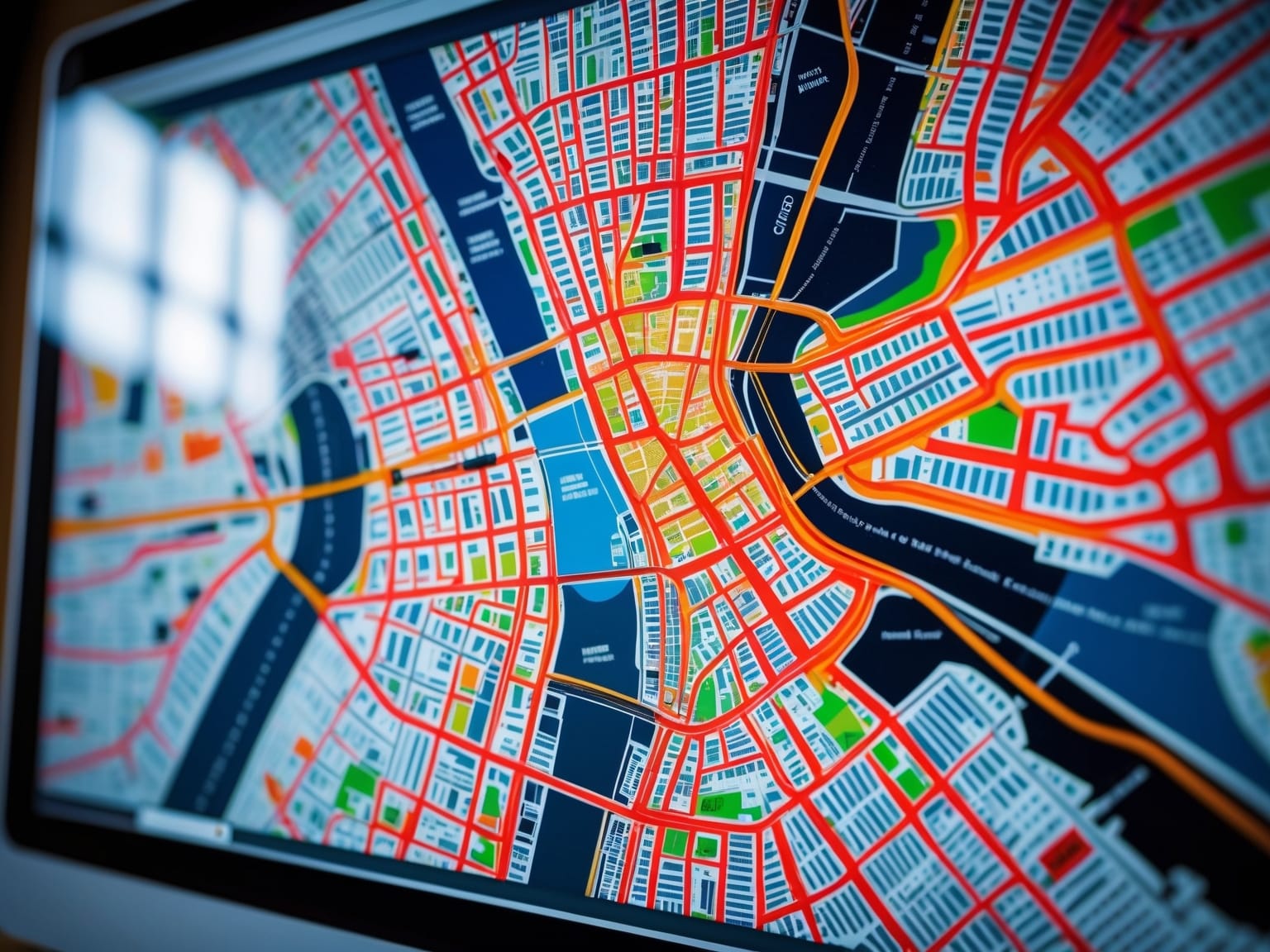
OpenStreetMap is a revolutionary platform that empowers users with free, editable maps of the world, maintained by a global community of volunteers. By providing open access to geospatial data, OpenStreetMap facilitates navigation, humanitarian efforts, and comprehensive geographic analysis. This article explores the benefits and capabilities of OpenStreetMap, offering insights into how you can leverage this tool for your projects. You’ll learn about its features, community contributions, and practical applications in mapping and data visualization.
Understanding OpenStreetMap
OpenStreetMap is an innovative platform that redefines the way maps are created and shared, offering free access to editable world maps. This initiative is powered by user contributions, with individuals from around the world mapping diverse locations to ensure comprehensive coverage. As a pivotal open-source platform, OpenStreetMap operates on the principle of collective effort, encouraging volunteers to participate in data gathering and map editing. This ethos of inclusivity and collaboration allows anyone to contribute, regardless of geographical location or expertise.
The data collection process in OpenStreetMap is diverse, involving methods ranging from personal GPS devices to publicly available aerial imagery. Contributors use their experiences, whether walking around their neighborhood or traveling internationally, to enhance and update the map data. This grassroots approach enables a detailed and up-to-date map that surpasses many proprietary offerings. Additionally, OpenStreetMap’s reliance on aerial imagery allows for accurate mapping of regions where personal data collection might be challenging, ensuring no area is left out.
OpenStreetMap plays a crucial role in making maps accessible to all, unrestricted by the limitations often associated with proprietary maps. It empowers users to generate detailed, customized maps that can serve various navigation needs without prohibitive costs or licensing restrictions. This democratization of mapping resources opens new opportunities for developers, businesses, and individuals alike, transforming how geographic data is utilized globally. As we delve into the power of open collaboration, we see how these collective efforts not only benefit individuals but also create a robust, dynamic mapping resource for communities worldwide.
The Power of Open Collaboration
OpenStreetMap thrives on the strength of collaborative community efforts, embodying the essence of open collaboration. A global network of volunteers contributes tirelessly, ensuring the map remains as accurate and reliable as a professionally curated service. With OpenStreetMap, the world becomes a collaborative canvas, painted by thousands of hands across the globe.
Community collaboration is integral to how OpenStreetMap evolves and stays relevant. Volunteers from diverse backgrounds, each bringing unique insights and local knowledge, pour their efforts into keeping the geospatial data current and comprehensive. This decentralized input ensures the map reflects the dynamic nature of our world.
- In areas where change is constant, such as cities or dynamic environmental regions, community input rapidly shapes and updates the data to reflect these transformations accurately.
- Through collaborative editing, contributors collectively maintain data accuracy. This meticulous process is empowered by tools that allow for seamless editing, version tracking, and error corrections. The community’s vigilance guarantees that information remains precise and updated.
Thanks to its volunteer-driven model, OpenStreetMap offers a reliable, ever-evolving resource freely accessible to anyone needing it.
As one explores the utility of OpenStreetMap, the collective effort put into its development becomes clear. These maps are not just datasets but living portrayals of our world’s landscapes, molded by the common goal of knowledge sharing. In the following chapter, we will delve into the various applications of OpenStreetMap, illustrating how it serves an essential utility across countless domains, from navigation to disaster response planning, seamlessly bridging the transition from creation to practical application.
Applications of OpenStreetMap
OpenStreetMap plays a vital role not only in navigation but also in a variety of practical applications that touch multiple aspects of our daily lives and global community. One of the most impactful uses of OpenStreetMap is in the realm of disaster response, where its open-source maps provide critical geographic information during crises. By empowering humanitarian efforts, OpenStreetMap enables organizations to plan and execute relief operations efficiently, ensuring that assistance reaches those in urgent need swiftly and effectively.
Furthermore, OpenStreetMap is a valuable tool in urban planning and environmental monitoring. Urban planners utilize its detailed maps to design sustainable and organized cities, making informed decisions on infrastructure development and land use. Environmentalists rely on the platform’s comprehensive data to monitor changes in landscapes and biodiversity, helping to protect natural habitats and manage environmental risks.
The versatility of OpenStreetMap also extends to enhancing outdoor activities. Enthusiasts and adventurers use it to navigate hiking trails, biking routes, and other recreational areas with confidence, armed with accurate and up-to-date information. These diverse use cases underscore the essential role that OpenStreetMap plays in driving practical solutions within real-world scenarios, making it indispensable in a technology-reliant era.
As we transition from understanding OpenStreetMap’s field applications to exploring its capabilities in mapping and data visualization, we begin to see how its open-data framework supports complex data-driven solutions. This cross-functional tool bridges the gap between raw geographic data and its practical visual application, paving the way for innovations in spatial data presentation.
Mapping and Data Visualization
OpenStreetMap, a cornerstone in the realm of digital mapping technology, seamlessly bridges raw geographic data and modern data visualization. As today’s technological landscape continuously evolves, OpenStreetMap empowers users to transform geographic data into insightful visual tools, invaluable for both navigation and storytelling. A multitude of APIs and plugins are available through OpenStreetMap, allowing for its seamless integration into various platforms, thereby fostering an environment where innovative data visualization can thrive.
One of the primary strengths of OpenStreetMap lies in its ability to export data into multiple formats. This flexibility enables users to select the most appropriate format for their analytical needs. Whether it’s KML for geographic applications or GeoJSON for web-based mapping, these tools streamline the process of turning complex geographic data into comprehensible visualizations. This versatility is an asset for IT professionals and tech enthusiasts, allowing them to tailor their projects to enhance the efficacy and clarity of their digital infrastructures.
Exploring creative avenues for visualizing geospatial data is another advantage offered by OpenStreetMap. Users can employ these tools for storytelling, creating dynamic presentations that capture the intricacies of geographic trends and patterns. By utilizing the extensive resources that OpenStreetMap provides, users can craft compelling narratives that are both informative and visually engaging.
As we transition into the next chapter, consider how these visualization capabilities can be further expanded. Through thoughtful integration into projects, you can maximize the utility of OpenStreetMap’s comprehensive resources, seamlessly incorporating them into broader digital strategies to elevate your mapping projects.
Integrating OpenStreetMap into Projects
OpenStreetMap offers a versatile and accessible way to integrate detailed mapping solutions into your digital projects. Transitioning from the exploration of mapping and data visualization, this chapter focuses on the practical steps to embed OpenStreetMap into websites and applications, enhancing both functionality and user interaction. By harnessing OpenStreetMap’s extensive database and open-source platform, developers can significantly enrich user experiences within their digital solutions.
By leveraging the OpenStreetMap API, you can seamlessly incorporate interactive maps into your projects. Here’s a simple guide to get you started: First, access the OpenStreetMap API documentation and familiarize yourself with its robust features. You’ll need to determine the specific data and map functionalities required for your project, ensuring they align with your user requirements and project objectives. The next step involves crafting API requests to retrieve map data, which can then be integrated into your website or application using HTML, JavaScript, and specialized libraries like Leaflet or OpenLayers that are designed for map rendering.
Consider a case study of a logistics company successfully integrating OpenStreetMap to provide real-time tracking and routing for deliveries. This integration not only improved system efficiency but also elevated customer satisfaction through accurate, real-time data visualization on interactive maps. Similarly, a tourism application using OpenStreetMap enabled users to discover local attractions seamlessly at the touch of a button.
By integrating OpenStreetMap into your projects, you tap into a world of precise, up-to-date geographic data that can transform user engagement. As we look to the future, the potential applications and innovations stemming from OpenStreetMap continue to expand, promising to reshape the landscape of digital mapping and beyond.
Future of OpenStreetMap
OpenStreetMap continues to revolutionize the landscape of digital mapping, pushing the boundaries of what’s possible in geographical information systems. As we move beyond integrating OpenStreetMap into projects, we anticipate new developments that promise to enhance its usability and accessibility for both individuals and enterprises. OpenStreetMap is on the cusp of significant feature enhancements, such as improved data accuracy and enriched user interfaces. These advancements are expected to make navigating geographic data more intuitive, bridging the gap between complex datasets and practical application.
The integration of artificial intelligence and machine learning into OpenStreetMap’s ecosystem heralds transformative potential. These technologies can streamline the identification and correction of mapping errors, automate data updates for dynamic environments, and even predict changes in geographical features over time. For instance, machine learning algorithms could enhance precision in mapping urban developments or environmental shifts, enriching the content available to users.
Furthermore, OpenStreetMap’s future includes a deeper integration with internet connectivity to offer real-time updates and interactive features. This will bolster its role in everyday navigation and decision-making, from urban planning to logistics. By harnessing community contributions and cutting-edge technologies, OpenStreetMap is positioned to constantly evolve, adapting to the needs of its diverse global user base.
As OpenStreetMap enthusiasts, IT professionals, and businesses continue to explore these advancements, the map will not only chart the physical world but also shape the digital future of mapping. Through these innovations, OpenStreetMap retains its mission to provide an open, collaborative map accessible to all, ensuring it remains an invaluable tool for everyone navigating digital and physical landscapes.

